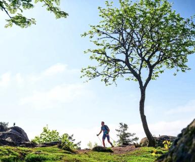
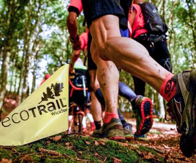

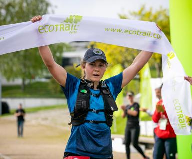
EcoTrail Wicklow 2023 route overview
Our course director René Borg provides an update on our 2023 routes.
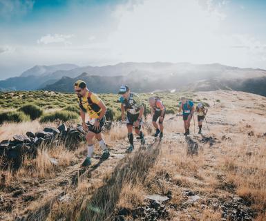
Every year since inception in 2019, we have made small adjustments to optimise the runner's experience every year. This year is no different, so strap in for the low-down on the key changes to the 2023 route compared to 2022 route. Didn't race in 2022? Don't worry: the key piece of information for you is the final distance and climb for our four races in 2023, so you know exactly what to expect.
At the highest level our 19 km race changes from 19.2 km to 19.9 km, our 30 km race from 30.2 km to 31.1 km, our 46 km race becomes a 47 km race as it moves up from 46.4 km to 47.8 km and our 80 km shrinks slightly from 80.4 km to 78.9 km with all routes adding slightly more vertical up and down. Note that every device you wear will measure trail routes slightly differently, so do not expect exact numbers: we provide this update simply so you are not too surprised once you get - let's say - 46 km into the 47 km and you are still not quite on Bray Promenade!
New section through Belmont/Kilruddery
With the famous 'Hell & Back' obstacle race taking place on the same day as our race this year, we are showcasing a new route through the Kilruddery / Belmont Estate to avoid a direct overlap between competitors in these two great County Wicklow events.
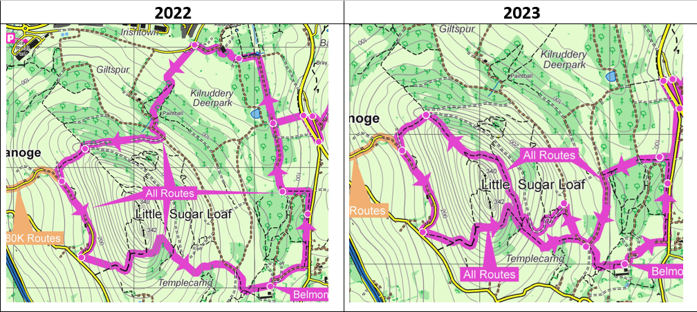
While the homebound section remains identical to previous years, the new outbound section is 4.1 km long with 220m of climbing compared to 3.2 km with 150m climbing in previous years.
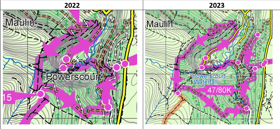
NEW DESCENT TO POWERSCOURT WATERFALL
On our 47 km and 80 km courses, we have removed the very direct and technical mountain bike descent from Djouce Woods (Calary) car park to Powerscourt Waterfall. When you arrive in Djouce Woods you now have a pleasant 3 km descent with a few short and steep sections until you reach Powerscourt Waterfall compared to the very direct 1.8 km descent used in 2019, 2021 and 2022.
NEW LOOP AROUND THE VARTRY RESERVOIR TRAILS!
Most local runners in the Roundwood area will tell you that the best part of the Roundwood Reservoir trail is the so-called 'Upper' (or Green) loop. This route was closed in 2022 but has since re-opened and we are delighted to introduce it into our 80 km race in place of the Lower (or Blue) loop which was used in 2022. This slightly shortens the time you spend running around the reservoir but introduces superior views, a few more little hills and 1200m less tarred road than in 2022.
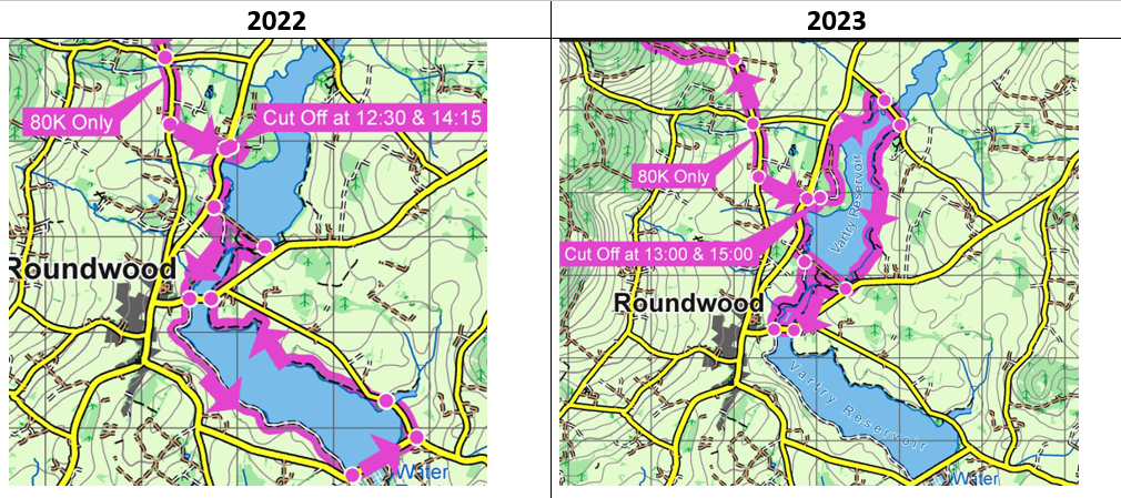
In raw numbers our new Roundwood Reservoir sections is 9.4 km with 70m climb compared to 11.8 km with 60 m climb as in 2022. As you pass the Vartry Trails Aid Station both entering and exitting the trail system, you will have quicker access to food and water as well as you make your way in and out of this area.